RTD Fastracks – West Corridor LRT Project, Denver, Colorado
 This project consists of a 13-mile long Light Rail Transit right-of-way from the Auraria Higher Education Center directly through populated portions of Denver, Lakewood and Golden to the Jefferson County Government Center. Ms. Askew provided ownership record research, managed field crews and data collection, and provided mapping services for the preliminary right-of-way portion of this project within Denver, Colorado. Additionally, she prepared property descriptions for right-of-way purchases. Ms. Askew is a native of the area and considers her work on this project to be a "once in a lifetime opportunity" to retrace the footsteps of many generations of land surveyors and the history of the railroad right-of-way where she grew up.

Ms. Askew provides expert witness services on an on-call basis in her role as the Jefferson County surveyor as a court appointed expert. She has also prepared land surveyor‘s reports for the Assistant Attorney General assigned to the Colorado Department of Regulatory Agencies.
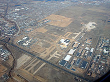
Redevelopment of the Former Stapleton Airport; Denver, Colorado

Ms. Askew is currently the Project Manager for the Stapleton Airport Property Transfer Mapping for FAA. Ms. Askew has been and continues to be actively involved with the Stapleton Redevelopment since January of 2000 when she served as the survey project manager for the development review process and land transactions while employed with the City and County of Denver. She prepared subdivisions, development plans, Denver Water easements, site control, and general surveying needs as an Assistant Survey Manager with URS Corporation from 2004-2006. Clients include: Forest City, Stapleton Development Corporation, Park Creek Metropolitan District, the City and County of Denver, and home builders within the development.
NOAA Colorado Height Modernization Program, CDOT
Ms. Askew provided project management services, educational materials, education, and outreach for the NOAA Colorado Height Modernization Project for the Colorado Department of Transportation. This project was a first of its kind in Colorado and required a Professional Land Surveyor as the project manager. The deliverables included a Web site, a needs assessment, a partnership plan, a GIS application showing existing vertical control for the State of Colorado, and a database of contact information for possible future stakeholders. Please visit www.coloradoheightmod.com for more information.
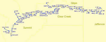
Golden to Vail Pass Project


